Shire of Wiluna
The Shire of Wiluna covers an enormous area of some 184,000 square kilometres, which is predominantly a mining and pastoral area. The weather conditions are very harsh in the area with average rainfall of approximately 250mm (10 inches) per annum and extreme temperature variations between summer (over 40 degrees) and winter (below freezing).
The town of Wiluna is the principal centre in the Shire, and there are also a number of mining villages and aboriginal communities. The township of Wiluna is 966 kilometres northeast of Perth and is situated on the edge of the desert at the gateway to the Canning Stock Route and Gunbarrel Highway.
Places to Stay
List your property with us
We currently have no listings for this shire. If you would like to list your property with us (for free), please send us you property details.
Get the Guide Book
Follow the pathways
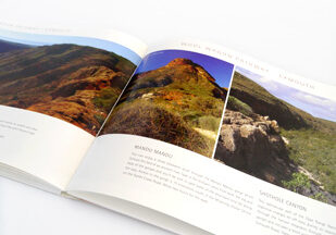
The 178-page full colour guidebook paints a colourful picture of the region - its history, nature and its charismatic characters following three self-drive trails through the Gascoyne-Murchison - the Wool Wagon Pathway, Miners Pathway and the Kingsford Smith Mail Run.
Plan your Trip
Safety Checklist
While the Outback Pathways have opened the heart of the Gascoyne and Murchison to visitors, many areas on the self-drive trails remain remote and warrant extra travel precautions.


